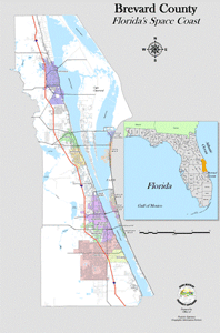
| File | Description | Type | Size MB | |
| BCPAO_Basemap_gdb.zip | City Boundaries, Parcels including condos, PLSS Section Grid, Subdivision Blocks, Subdivision/Condo Boundaries | File Geodatabase | 01/06/2025 @ 4:43 PM | 43.32 |
| BCPAO_Reference_gdb.zip | Parcel Centroids w/ Situs, Dimensions, Railroads, Miscellaneous Control Lines & Annotations, Water Boundaries | File Geodatabase | 01/06/2025 @ 4:43 PM | 115.53 |
| Border.zip | Brevard County Boundary | Shapefile | 12/17/2020 @ 7:56 AM | 0.02 |
| Cities.zip | City Boundaries | Shapefile | 01/06/2025 @ 4:42 PM | 0.40 |
| Parcels.zip | Parcels Including Condos | Shapefile | 01/06/2025 @ 4:43 PM | 47.85 |
| PLSS_Sections.zip | PLSS Sections | Shapefile | 01/06/2025 @ 4:43 PM | 0.09 |
| SubsCondos.zip | Subdivision & Condominium Boundaries | Shapefile | 01/06/2025 @ 4:43 PM | 4.60 |
| TwpRng.zip | PLSS Township & Range Grid | Shapefile | 12/17/2020 @ 7:55 AM | 0.02 |
| File | Description | Type | Size MB | |
| WebData.zip | Countywide Property data | Database | 01/13/2025 @ 7:45 AM | 220.19 |
Select a Plat Book number below to view page link list:
|
Plat Books
|
|||||||
|---|---|---|---|---|---|---|---|
| Aerials | Description | Price |
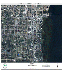
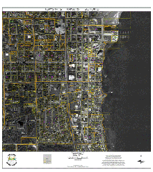
| 2021-2024 | composite 3-inch (urban areas) & 9-inch (rural areas) pixel resolution aerial mosaics in Township/Range image blocks | $350 |
| 2014-2020 | composite 4-inch (urban areas) & 9-inch (rural areas) pixel resolution aerial mosaics in Township/Range image blocks | $350 |
| 2009-2013 | composite 4-inch (urban areas) & 11-inch (rural areas) pixel resolution aerial mosaics in Township/Range image blocks | $350 |
| Aerials | Description | Price |
| 2021-2024 | composite 3-inch (urban areas) & 9-inch (rural areas) pixel resolution aerial mosaics in Township/Range image blocks | $10 |
| 2014-2020 | composite 4-inch (urban areas) & 9-inch (rural areas) pixel resolution aerial mosaics in Township/Range image blocks | $10 |
| 2009-2013 | composite 4-inch (urban areas) & 11-inch (rural areas) pixel resolution aerial mosaics in Township/Range image blocks | $10 |
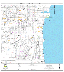
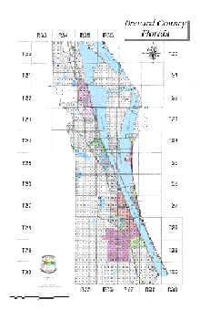
The
(Public Land Survey System) Parcel Section map shows approximately one
grid sector, which is approximately one-square mile, although area can vary significantly, particularly in
areas. Map includes parcel boundaries and area details.
Free Digital section maps available online.
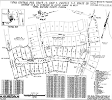
Subdivision Plats and other large-format black & white prints are available for purchase on a cost-recovery basis.
Free digital subdivision plats available online.
Specialized Data Requests
If you are unable to find the information you need on our website, please contact our office for a specialized data request.
Specialized data requests only include public data that already exists in our systems. They do not include creating custom products. If you need a custom product, please contact us for more information on cost-recovery pricing, project feasibility, timeframe, etc. Creating custom products is not part of our regular operations and not all requests will be approved.
Personal, protected, and proprietary data in our records is exempt from public inspection per Florida statutes and cannot be provided except to authorized BCPAO partners for explicit operational needs or by court order.

